Average position across your area
It is not one snapshot of your profile. We measure how you appear at dozens of points around your business, street by street, so you know where they see you and where they do not.

RankGrid Pro
Your business does not look the same from every part of the city. RankGrid measures your position on a real grid over your area, compares it against your competitors and tells you when it changes.
A real grid
Dozens of points around your business, not a single query.
Nearby competition
Which nearby businesses appear ahead of you, and on which streets.
Alerts on a drop
We tell you the moment you lose a place in an area that matters.
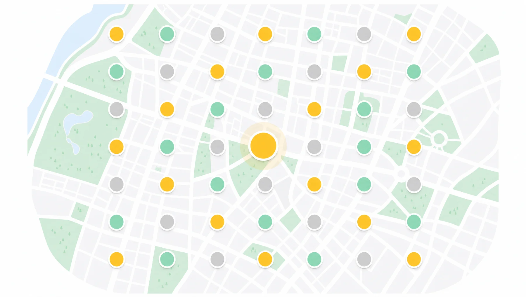
You can be first on one block and invisible three streets away. Without seeing the whole map, you do not know which areas the competition is beating you in.
It is not one snapshot of your profile. We measure how you appear at dozens of points around your business, street by street, so you know where they see you and where they do not.
You know exactly which nearby businesses are taking ground from you and on which specific streets, not just that competition exists.

You follow how your position rises or falls week by week. One isolated movement says nothing; the trend does.
We tell you the moment you drop a place in an area that matters, so you can act while there is still time to fix it.

We place your business on the map and define the real area where you compete for customers.
We measure your position at dozens of points spread across the whole grid, not at one.
We identify which nearby businesses appear ahead of you and at exactly which points they beat you.
If your position drops in an area that matters, we tell you so you can fix it in time.
How to read the map
The colour of each point is the position you appear in when someone searches from that exact spot. If you are not in the top 20 results, the point is marked as not visible instead of given a figure that means nothing.
You define the area: the scan radius runs from 10 to 100 km around the business and the spacing between points from 1 to 20 km. A dense grid over one neighbourhood or a wide one over the whole city.
You define the area. The scan radius runs from 10 to 100 km around the business and the spacing between points from 1 to 20 km, so the grid can be dense over one neighbourhood or wide over an entire city. The more points, the finer the detail.
Each point is coloured by the position you appear in there: green from 1 to 3, light green 4-5, yellow 6-7, orange 8-10 and red from 11 on. If you do not appear in the top 20 results, the point is marked as not visible instead of giving you a number that means nothing.
Tapping a point shows you which businesses appear ahead of you at that exact location, with their name and profile photo. It is not a city-wide aggregate: it is the list for that corner.
Every scan is stored and you can reopen it whenever you want. Because they are kept, two scans of the same place can be compared to see which areas improved and which fell between one and the other.
Yes. When you lose position on the map between one scan and the next, a position-drop alert is generated. It is the only alert in the system that watches the competition rather than your own listing.
Google does not publish the local map algorithm, so nobody can guarantee a position. What RankGrid does is measure where you are today, street by street, so decisions are made on data rather than on assumptions.
Connect your profile and see exactly where people find you, street by street.